Visual mind maps
fields
- research
- illustration
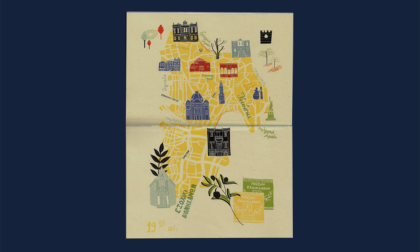
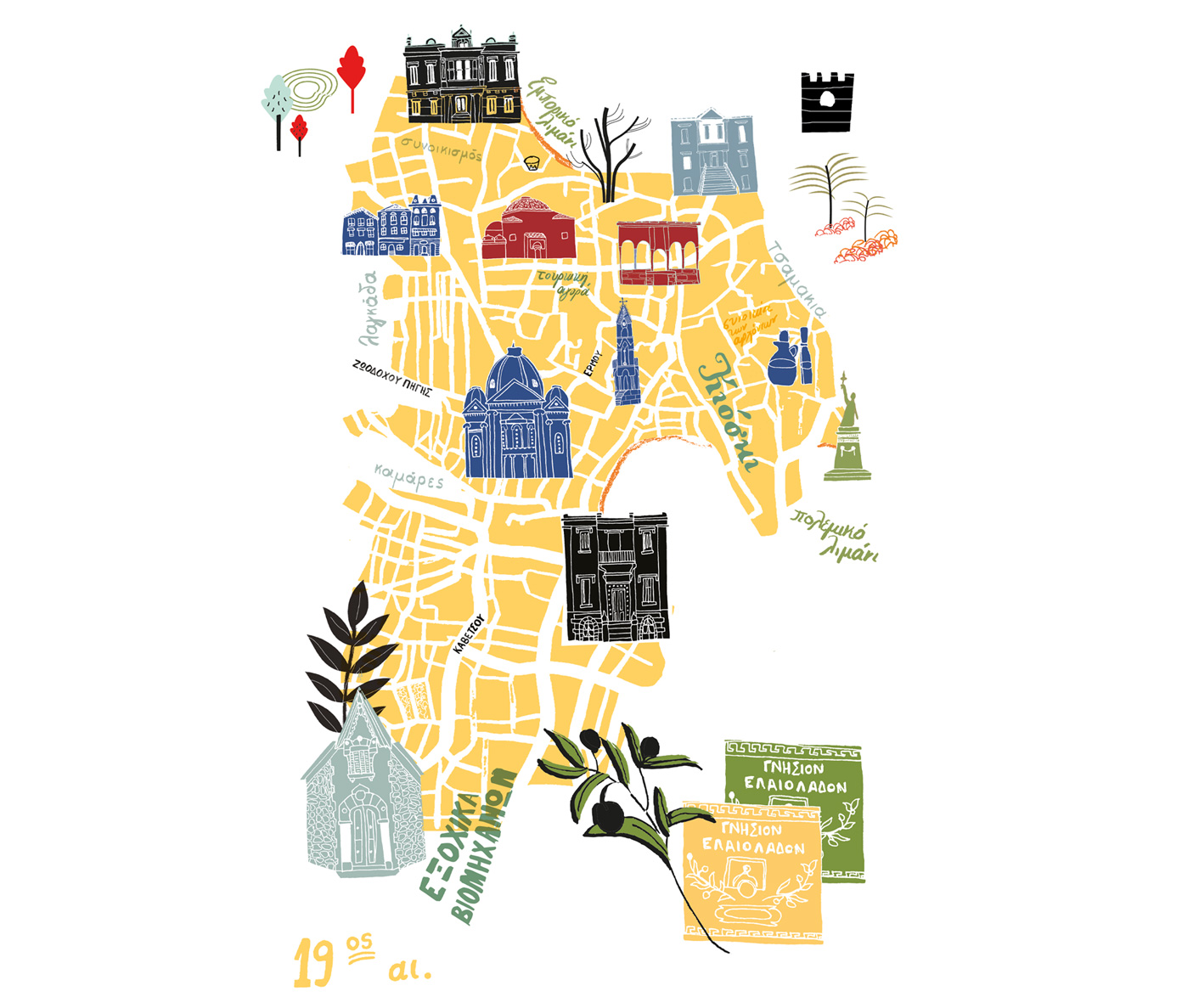
This series of illustrated maps is a personal interpretation of the town of Mytilene during 19th, 20th and 21st century. Each map depicts the prominent characteristics of each era from a socioeconomic point of view, revealing the city’s heritage.
Visual language
In the 19th century Mytilene was turned into a cosmopolitan port with a flourishing cultural production due to development of -mainly- olive oil commerce and industry. The majority of mansions are influenced by the neoclassical and baroque style with marble decorations and flowered gardens.
The colour palette used for the interpretation of this era is inspired by the nature and mainly by the olive and its products.
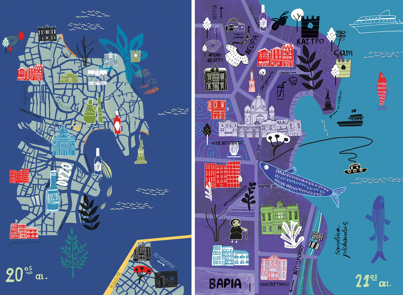
The ouzo distilleries that bloomed during the 20th century in the centre of Mytilene, inspired me for this era’s illustrated map. The anise- based aperitif, ouzo, along with the blue color and its hues, create a sense of summer and highlight the presence of sea.
For the 21st century I chose a different angle in order to focus on the city’s nightlife and view. While archaeological sites and other landmarks are present in all of the editions of the maps, modern elements have been incorporated too.