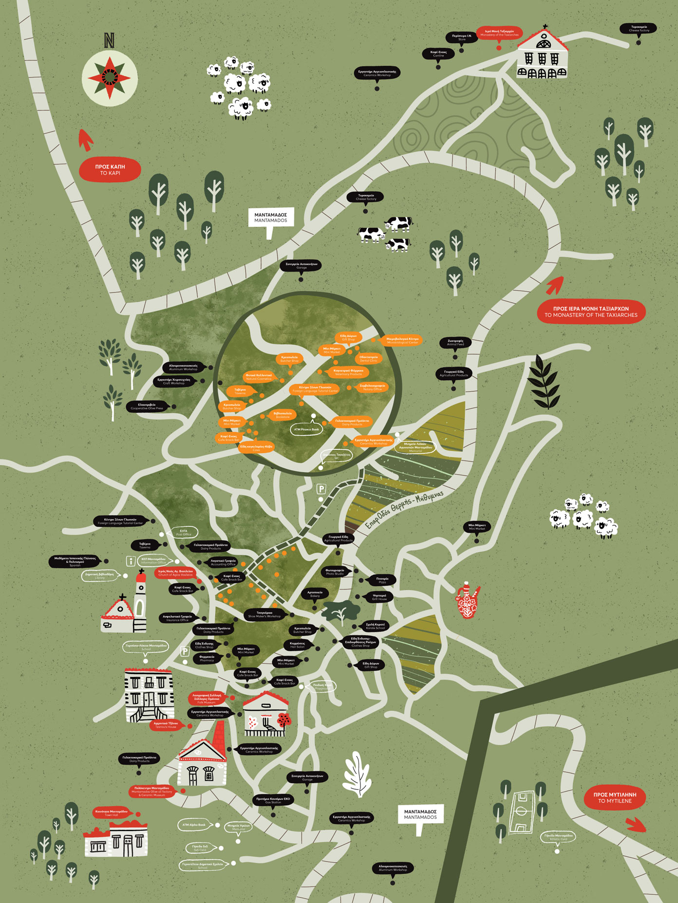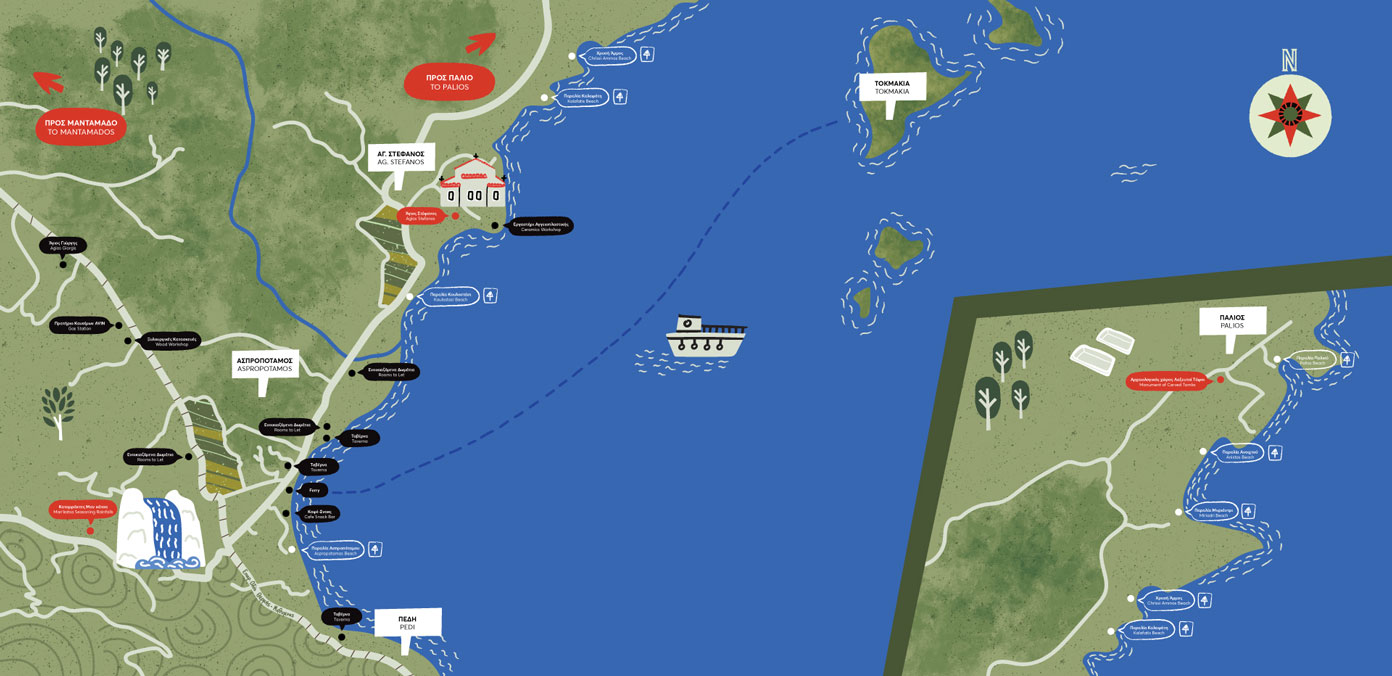
Mantamados trails
fields
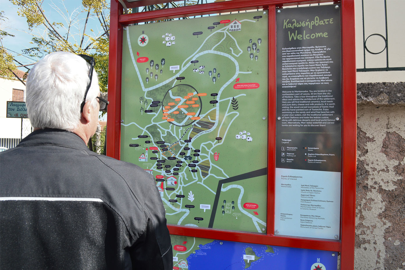
- wayfinding
- illustration
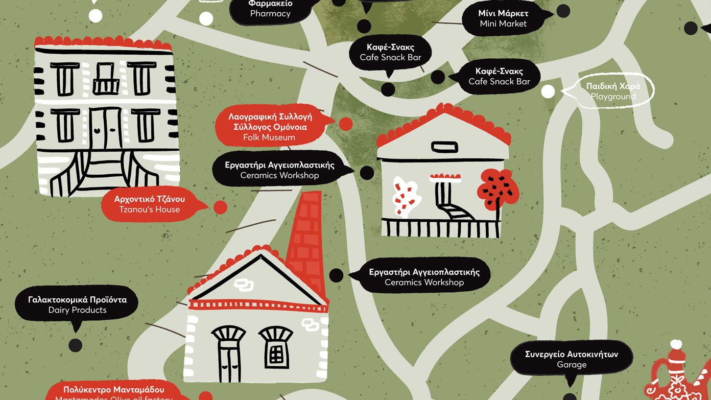
The picturesque village of Mantamados, located in the northeastern part of Lesvos island is well known for its striking architecture, pottery and dairy products.
I was asked to create a composition of illustrated maps of the village and its outskirts. The maps work as wayfinding signage for the visitors and the locals, by highlighting the points of interest and providing valuable information of the area’s history.
Through the usage of playful illustrations, mild colours and funky yet clean icons, we arrived at a vibrant result that enhances the settlement’s personality.

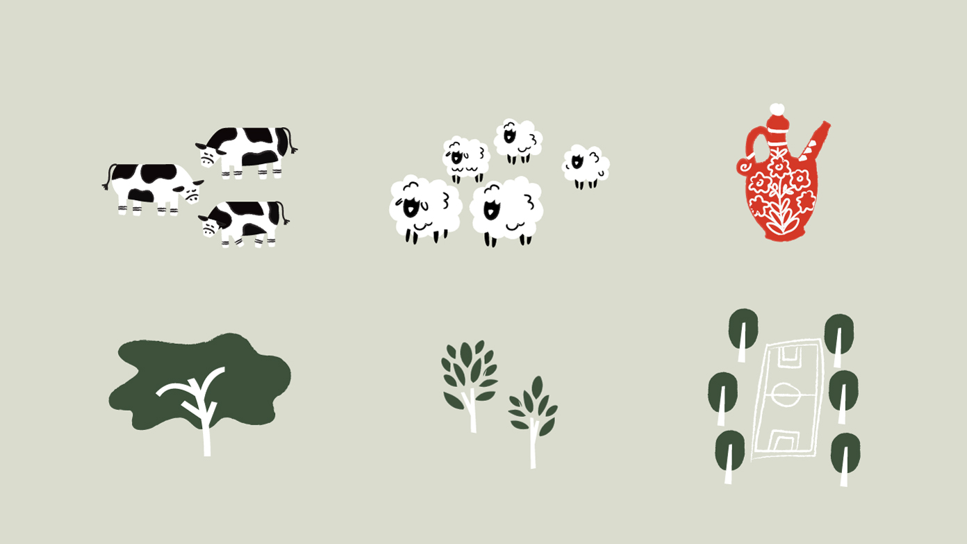
Secondary elements have been added in order to enhance the identity of the place and to highlight the area’s main activities such as agriculture, pottery, dairy farming etc.
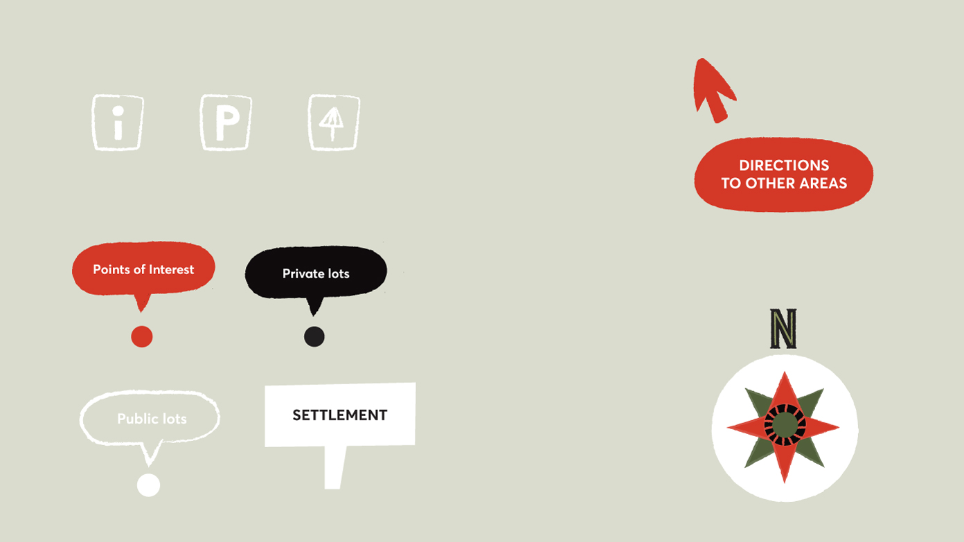
In order to obtain visual hierarchy, vivid red colour was chosen for the points of high importance, black colour for the private lots and white colour for the public lots. In addition, icons of certain categories were added (Information, Parking Lot, Beach) to ensure quick distinction.